ClimSA strengthens climate services across African, Caribbean and Pacific regions

Climate extremes are placing growing pressure on water resources, food security and livelihoods in many developing countries. The EU-funded ClimSA was established to enhance climate services across the African, Caribbean, and Pacific (ACP) regions.
Implemented over six years, ClimSA has brought together eight Regional Climate Centres (RCCs), ten National Meteorological and Hydrological Services (NMHSs) from focus countries, the European Commission’s Joint Research Centre (JRC), the European Organisation for the Exploitation of Meteorological Satellites (EUMETSAT), the African Union Commission (AUC) and the World Meteorological Organization (WMO) to strengthen climate prediction, data management, and the delivery of actionable services.
Improving Climate Data Management Systems
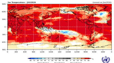
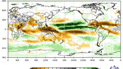
Climate information is essential for sectors such as disaster risk reduction, food security, water supply, public health, biodiversity and ecosystem sustainability. Under ClimSA, significant progress was made in improving Climate Data Management Systems (CDMS) which support archiving, analysis, delivery and use of integrated climate data.
ClimSA supported the establishment and improvement of sustainable CDMS solutions for NMHSs. This included assessing country-specific needs, designing and testing open-source systems and implementing tailored solutions in focus countries.
Capacity development was central to these efforts. Four workshops on CDMSs held in 2025 and early 2026 strengthened technical expertise among RCCs and ClimSA focus countries. The first two, held in Nairobi, Kenya, and Yaoundé, Cameroon, focused on the Climsoft CDMS, a widely used open-source system for managing and analysing climate data.
The third, held in Samoa in collaboration with the Bureau of Meteorology (BoM) Australia helped users familiarize themselves with Climate Data for the Environment (CliDE), a climate data management system for storing and analysing climate information developed by BoM for Pacific Countries and territories. The most recent, held in Jamaica, covered the SURFACE CDMS, an open-source system developed by regional NMHSs in the Caribbean to support climate data management and interoperability.
These workshops covered the installation, configuration and use of the respective CDMSs, with a focus on metadata management, manual and automated data ingestion, including data from automatic weather stations (AWS), quality control procedures, and preparation of climate data for sharing and international exchange.
An introduction to connecting the CDMSs to external software and systems was also provided, covering statistical software such as R-Instat and data exchange over the WMO Information System (WIS 2.0), which enables the sharing of weather, climate and water data between countries and institutions. Separate training on R-Instat was additionally provided under ClimSA.
These activities contributed directly to ClimSA’s objective of strengthening climate data management capacity and improving the availability and quality of climate information for climate services and decision-making.
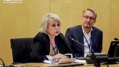
Bridging science and decision-making
ClimSA has also supported the establishment of national User Interface Platforms (UIPs) in focus countries. These platforms connect climate service providers with the people and institutions that rely on climate information, ensuring that services respond to real needs. Through regional consultations, ClimSA developed UIP guidelines and sector-specific frameworks for UIPs implementation for disaster risk reduction, water, agriculture, and health.
These platforms have enabled stakeholders to co-design climate products, align services with local priorities, and strengthen cross-sector collaboration. In Cameroon, stakeholders shared historical flood data through the UIP, dramatically enhancing impact-based forecasting in the region and helping reduce loss of lives and property. In Samoa, the UIP enabled the collaboration between the Secretariat of the Pacific Regional Environment Programme (SPREP) and the regional fishery agency to co-develop a climate-informed fisheries product, helping stakeholders plan for climate impacts on livelihoods.

UIPs have helped make climate information more accessible, relevant, and actionable. Stakeholders report improved understanding of user needs, more inclusive participation, and stronger collaboration between providers and users.
Building resilient climate services
These achievements are part of a broader set of activities implemented across the ACP regions under ClimSA. The programme has supported climate risk assessments to inform National Adaptation Plans (NAPs) and Nationally Determined Contributions (NDCs), while building skills in data management, climate indices analysis and the use of climate information.
Through capacity building and improved data systems, ClimSA has helped national and regional institutions better anticipate extreme events and integrate climate data into planning and development.
As the programme approaches completion, the progress made highlights the value of sustained investment in climate services. By strengthening partnerships between scientists, institutions, and users of climate information, ClimSA has laid the foundation for more resilient and climate-informed decision-making across vulnerable regions.


 at sunset. Source- westend61.jpg")