MCH Database Management System
- Author(s):
- By WMO Secretariat

The WMO Meteorological, Climatological and Hydrological database management system, known as MCH, manages observational data from its three namesake areas – meteorology, climatology and hydrology – under a single platform. By doing so, MCH facilitates data exchange among National Meteorological and Hydrological Services (NMHSs) and the gathering, in a unique system, of all the data needed for cross-cutting analysis of climate, weather and water phenomena. MCH offers a solution for NMHSs that are looking for a simple, customizable and license-free solution to store, analyse and visualize data. The system permits them to manage and generate reports on large amount of observed data.
The PROMMA (Programa de Modernización del Manejo del Agua, which ran from 1996–2005) technical cooperation project developed MCH to provide a water and climate database management system tailored to the needs of the Mexican National Water Commission. At the end of the project, Mexico made the system available to PROHIMET, the WMO-supported Ibero-american Programme for Cooperation of NMHSs. PROHIMET then added a meteorological component to MCH and adapted it to serve a broader audience, thanks to a Trust Fund established by Spain at WMO to support its activities.
 |
 |
 |
|
Example of a graphic of daily water level observations from 01.01.2004 to 12.12.2015 |
A comparative graphic for precipitation at two stations |
A comparative graphic for air temperature and precipitation at one station |
In 2011, MCH ownership was transferred to WMO, where the software was translated into English and French and made freely available to all WMO Members. The user manual is now available in all three languages. An online User Community platform was created to permit users support and to share customized modules (functionalities). The group is very active and thanks to their feedbacks, contributions and support, MCH is constantly evolving. Every year new functionalities are added in the three domains – meteorology, climate and hydrology – allowing all users to improve their services and products they provide to national authorities and the public.
 |
 |
|
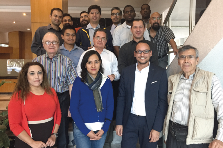
MCH Workshop on advanced functionalities in Mexico, 21-25 September 2015 |
An MCH training session in Armenia |
MCH offers NMHSs a simple tool to manage data without their having to purchase licenses. It can be used to gathers data from measuring stations and to digitize in a standardized format years of backlog observational data records on paper and/or in other centralized data sources (MS Excel or Access, for example). As of 2018, some 24 WMO Members have expressed an interest and been provided with the MCH software and appropriate training, and more and more Members are using it operationally. In a coming issue, the Bulletin will publish case studies from MCH users.
Those NMHSs that would like to know more and join the community are encouraged to contact WMO through their Permanent Representative.
 |
 |
| A more elaborate product: isoline map of precipitation |
Example of comparative graphic air temperature and precipitation for one station |

