Marine Services
WMO works with its Members and international partners to provide trusted weather, ocean and coastal information that protects lives and livelihoods and supports safe and sustainable activities at sea and along the coast.
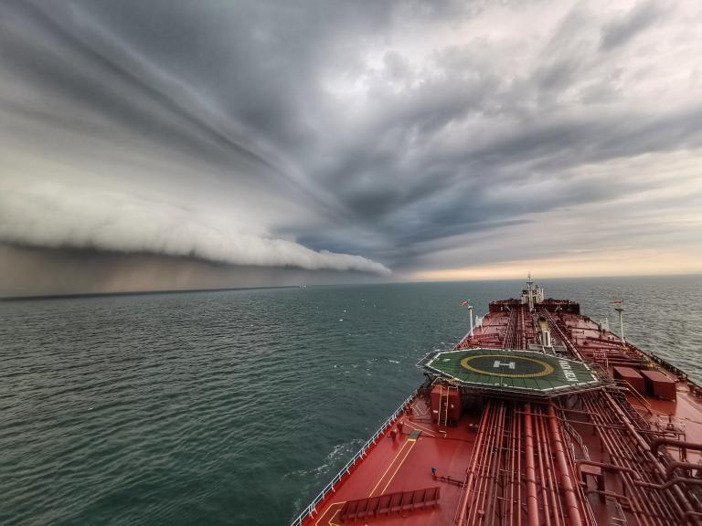
From the food we eat and the energy we use to the clothes, electronics and other goods we buy, much of everyday life depends on the ocean. Around 80% of international trade in goods by volume is carried by sea, while approximately 40% of the world's population lives within 100 kilometres of a coast. Safe seas and resilient coasts therefore matter to everyone.
Disruptions to maritime activities can also have consequences far beyond the affected region. Drought and low water levels in the Panama Canal in 2023–2024 restricted ship traffic and disrupted global supply chains, illustrating how weather, water and climate conditions can affect economies around the world.
International cooperation in marine meteorology dates back to 1853, when Matthew Fontaine Maury brought maritime nations together in Brussels to establish a common system for collecting and exchanging observations at sea. Following the Titanic disaster in 1912, maritime safety cooperation was further strengthened through the first International Convention for the Safety of Life at Sea (SOLAS) in 1914.
Today, WMO works closely with the International Maritime Organization (IMO) to ensure ships worldwide receive authoritative meteorological warnings and forecasts under SOLAS.
Maritime safety services
Ships navigating the world's oceans depend on accurate and timely information about severe winds, waves, tropical cyclones, sea ice and other hazardous conditions. WMO helps its Members to coordinate these services internationally so that mariners can receive authoritative warnings and forecasts wherever they sail.
At the heart of this cooperation is the Worldwide Met-Ocean Information and Warning Service, coordinated by WMO and IMO. Under this system, the world's oceans are divided into 21 METAREAs (meteorological areas), with designated countries responsible for coordinating and providing meteorological warnings and forecasts for international shipping. These services support Members in meeting their SOLAS obligations.
Marine services rely on observations from ships, buoys, satellites and other observing systems, together with numerical weather and ocean prediction models and the international exchange of weather and ocean data. WMO works with Members and partners, including IMO, the International Hydrographic Organization (IHO) and the Intergovernmental Oceanographic Commission of the United Nations Educational, Scientific and Cultural Organization (IOC-UNESCO), to strengthen this global system. WMO also supports common standards, quality management, capacity development and emergency response so that services remain reliable and resilient.
Coastal marine services
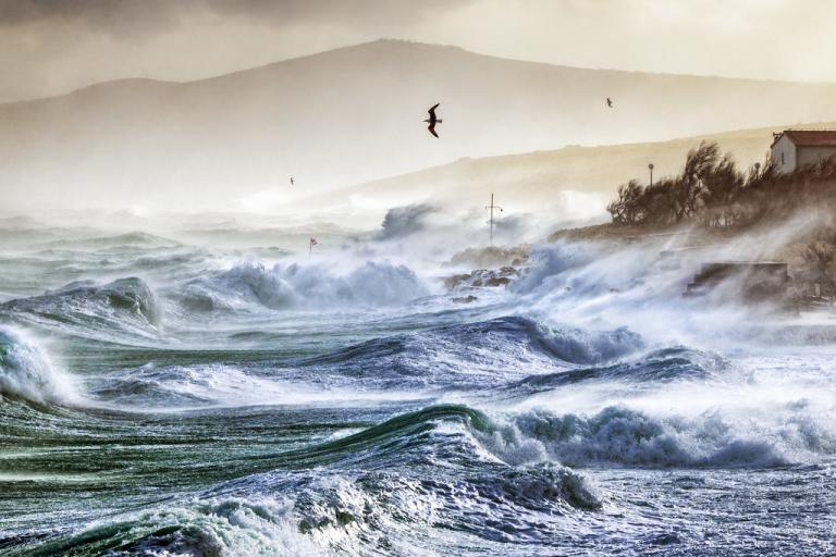
Marine hazards do not stop at the shoreline. Storm surges, high waves, coastal flooding and other extreme events can threaten lives, ports, coastal communities and critical infrastructure.
WMO supports Members in improving forecasts and strengthening coastal multi-hazard early warning systems, contributing to more resilient coastal communities. Combining information about weather, waves, sea level and ocean conditions helps coastal authorities understand where and when coastal impacts may occur and take action before hazards become disasters.
Another important area of WMO’s work is marine emergency response, which includes efforts to track oil spills and other hazardous substances released into the marine environment, as well as search and rescue operations for people who have fallen overboard.
Regional Specialized centres provide weather and ocean information to help predict where pollutants or people may drift, guiding response efforts. International cooperation and regular exercises help ensure these services are ready when emergencies occur. The 2020 MV Wakashio oil spill in Mauritius illustrated the practical value of these services. The Mauritius Meteorological Service provided weather and sea-state forecasts, while Météo-France used its drift model to predict the movement of leaking oil, helping authorities assess the threat to the Mauritian coast and neighbouring Réunion.
International collaboration and the future of marine services
Like the atmosphere, the ocean does not recognize national or institutional boundaries. WMO works with IMO on maritime safety, with IHO on navigation and digital maritime information and with IOC-UNESCO on ocean observations, forecasting and related services.
As maritime navigation becomes increasingly digital, marine services must evolve with it. WMO and its partners are developing the S-41X series of digital marine weather and sea-ice services within the international S-100 framework, which enables different types of met-ocean information to be combined and displayed on digital navigation systems. These services will cover sea-ice conditions, marine weather warnings and forecasts, weather and ocean observations, and the location and movement of weather systems.
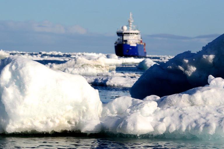
Together, they will allow seafarers to view authoritative weather, ocean and ice information as interoperable digital layers alongside electronic navigational charts and other information on their shipboard systems. This can improve route planning and situational awareness by helping identify hazards along routes and supporting safer, more timely decisions. These capabilities will be particularly valuable in remote and challenging waters, such as the Arctic, where weather, ocean and ice conditions can change rapidly.
From the first international exchange of marine weather information to today's global warning systems and tomorrow's digital navigation services, the goal remains the same: providing trusted information to the right people at the right time for safer seas and more resilient coasts.
Related news

Related events


Argentina