Bangladesh systemic assessment of earthquake risk
News was produced by: MoDMR, UNDRR, GEM, UNRCO
The Ministry of Disaster Management and Relief (MoDMR) was supported by the UN Office for Disaster Risk Reduction (UNDRR), the UN Resident Coordinator’s Office (UNRCO), and the Global Earthquake Model (GEM) Foundation to establish a sub-national earthquake hazard and risk assessment in Bangladesh.
A detailed, open sub-national earthquake risk model and evaluation of seismic risk for Bangladesh at the zila and upazila levels was developed. The risk model encompassed a probabilistic seismic hazard model, a building exposure model, and a seismic fragility and vulnerability model for Bangladesh's building stock. Additionally, it included critical scenarios for key cities based on the results of the probabilistic risk assessment in consultation with local stakeholders and experts.
This process was overseen by a panel led by the MoDMR and included representatives from the Ministry of Housing and Public Works, Bangladesh Bureau of Statistics, Geological Survey of Bangladesh, Bangladesh University of Engineering and Technology, and the University of Dhaka.
Different assessments with data inputs and outputs to understand and combine hazards, exposure, and vulnerability are documented in the Global Earthquake Model (GEM) Foundation project site. It includes:
Assessment | Inputs | Outputs |
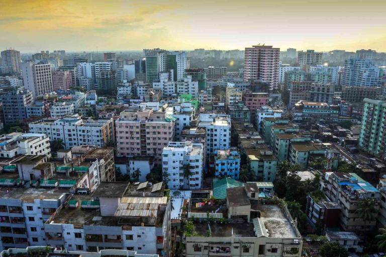
| Population and Building Exposure |
| |
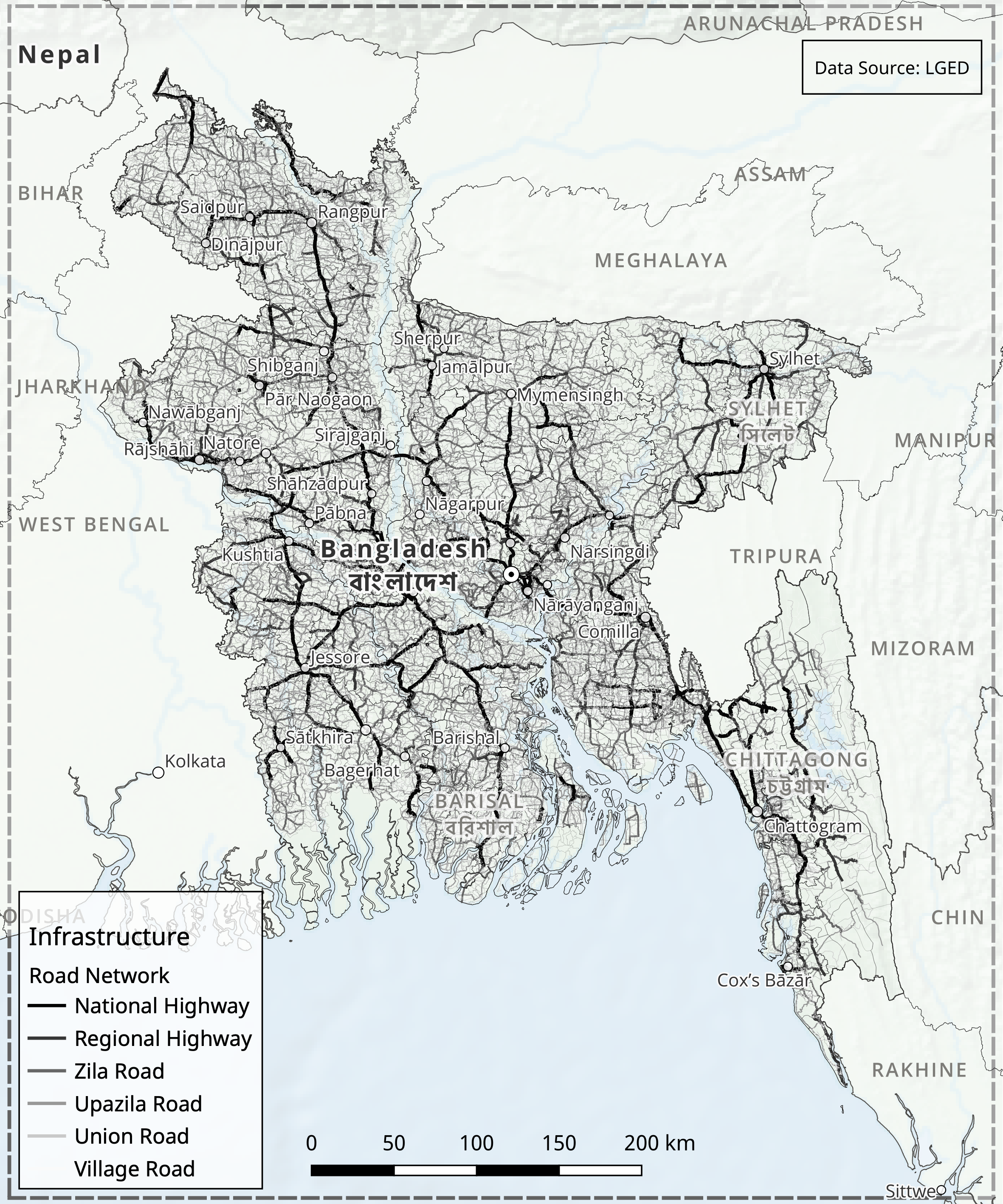
| Infrastructure Exposure |
| |
| Earthquake Scenarios |
| |
| Probabilistic Seismic Hazard Assessment | Comprehensive seismic hazard model for Bangladesh that can be used for risk assessment and mitigation
| |
| Liquefaction Hazard Assessment | Liquefaction susceptibility and hazard assessment
| Maps Charts Tables |
| Seismic Risk Assessment | The project estimated:
|
The outputs were validated during stakeholder consultations. Other outreach activities included communications and awareness raising, presentations to the Ministry of Disaster Management and Relief (MoDR), and different technical panels sessions. Training efforts included activities on site and online. Different reports capture the aspects and results of the project.
The project outputs support several preparedness and resilience aspects. This includes public awareness, empowerment of land-use planners and spatial planners, infrastructure strengthening and strategic investments, informed urban planning and sector-specific planning. It also supports earthquake preparedness beyond mitigation and improved civil-military coordination.
- WMO Member:
- Bangladesh